1. Asalka Farsamada: Nidaamka Raadaarka Biyaha ee Isku-dhafan
"Nidaamka Radar-ka Biyaha Saddex-mid ah" wuxuu caadi ahaan isku daraa hawlaha soo socda:
- La socodka Biyaha Dusha Sare (Kanaalada Furan/Wbiyada): Cabbiraadda waqtiga-dhabta ah ee xawaaraha socodka iyo heerarka biyaha iyadoo la adeegsanayo dareemayaal ku salaysan radar.
- La socodka Tuubooyinka Dhulka Hoostiisa: Ogaanshaha daadashada, xirmidda, iyo heerarka biyaha dhulka hoostiisa mara iyadoo la adeegsanayo radar-ka dhulka geliya (GPR) ama dareemayaasha dhawaaqa.
- La socodka Badbaadada Biyo-xireennada: La socodka barakicinta biyo-xireennada iyo cadaadiska qulqulka iyada oo loo marayo radar interferometry (InSAR) ama radar ku salaysan dhulka.
Wadamada kulaylaha ah ee u nugul daadadka sida Indonesia, nidaamkani wuxuu xoojiyaa saadaasha daadadka, maaraynta kheyraadka biyaha, iyo badbaadada kaabayaasha dhaqaalaha.
2. Codsiyada Dhabta ah ee Indonesia
Kiiska 1aad: Nidaamka La Socodka Daadadka Jakarta
- Taariikh: Jakarta waxay wajahaysaa daadad soo noqnoqda oo ay ugu wacan tahay webiyada oo buux dhaafiyay (tusaale ahaan, Wabiga Ciliwung) iyo nidaamyada biyo-mareenka oo gaboobay.
- Tiknoolajiyada la Adeegsaday:
- Kanaalada Furan: Mitirka socodka radar-ka ee lagu rakibay webiyada ayaa bixiya xog waqtiga-dhabta ah oo loogu talagalay digniinaha daadadka.
- Tuubooyinka dhulka hoostiisa mara: GPR waxay ogaataa burburka tuubooyinka, halka AI ay saadaaliso khataraha xannibaadda.
- Natiijo: Digniinaha daadadka hore ayaa soo hagaagay 3 saacadood xilligii monsoonka 2024, taasoo kordhisay waxtarka gurmadka degdegga ah 40%.
Kiiska 2aad: Maareynta Biyo-xireennada Jatiluhur (Galbeedka Java)
- Taariikh: Biyo-xireen muhiim u ah waraabka, korontada biyaha, iyo xakamaynta daadadka.
- Tiknoolajiyada la Adeegsaday:
- La socodka Biyo-xireennada: InSAR waxay ogaataa isbeddellada heerka milimitir; radar-ka seepage wuxuu aqoonsadaa socodka biyaha aan caadiga ahayn.
- Isuduwidda Hoos-u-socodka: Xogta heerka biyaha ee ku salaysan radar-ka ayaa si toos ah u hagaajisa albaabada biyaha ka soo daadanaya.
- Natiijo: Dhul beereedkii ay fatahaadu saameysay ayaa hoos u dhacay 30% xilligii daadadka 2023.
Kiiska 3aad: Mashruuca Biyo-mareenka Caqliga leh ee Surabaya
- Caqabad: Daadad ba'an oo magaalooyinka ah iyo biyo milix leh oo soo galay.
- Xalka:
- Nidaamka Radar-ka ee Isku-dhafan: Dareemayaashu waxay la socdaan socodka iyo ururinta qashinka ee kanaalada dheecaanka iyo tuubooyinka dhulka hoostiisa mara.
- Muuqaalka Xogta: Dashboard-yada ku salaysan GIS waxay gacan ka geystaan hagaajinta howlaha saldhigga bamka.
3. Faa'iidooyinka iyo Caqabadaha
Faa'iidooyinka:
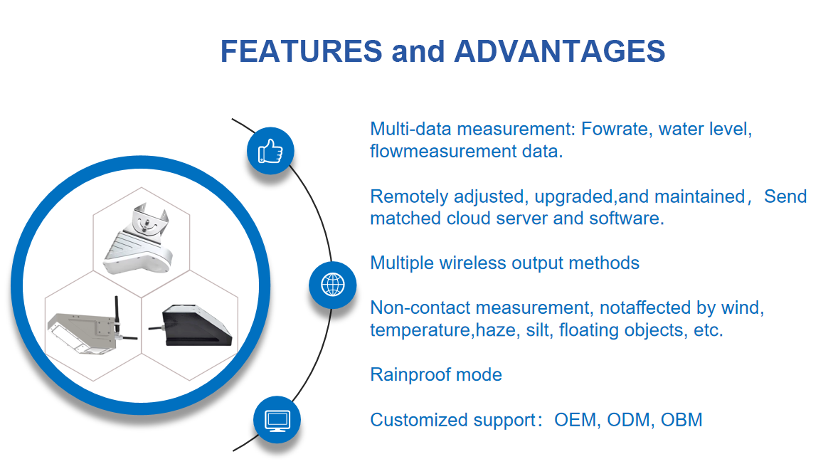
✅ La socodka Waqtiga-dhabta ah: Cusbooneysiinta radar-ka soo noqnoqda ee heerka sare (heerka daqiiqadda) ee dhacdooyinka degdegga ah ee biyaha.
✅ Cabbirka Aan Taabashada Lahayn: Waxay ka shaqeysaa jawi dhoobo ah ama dhir leh.
✅ Daboolida Cabbirka Badan: La socodka aan kala go 'lahayn laga bilaabo dusha sare ilaa dhulka hoostiisa.
Caqabadaha:
⚠️ Kharash Sare: Nidaamyada radar-ka ee horumarsan waxay u baahan yihiin iskaashi caalami ah.
⚠️ Isdhexgalka Xogta: Waxay u baahan tahay isku-dubarid hay'ado kala duwan (biyaha, degmada, maaraynta masiibooyinka).
Fadlan la xiriir Honde Technology Co., LTD.
Email: info@hondetech.com
Mareegta shirkadda:www.hondetechco.com
Tel: +86-15210548582
Waqtiga boostada: Luulyo-16-2025


